New ReleaseVC Story
VC Story now available with Editor. Create and manage interactive map stories easily
The new editor in VC Story enables the graphical creation and maintenance of VC Stories directly within the App Configurator. This allows map stories to be created, structured, and published without any programming.
The new VC Story Editor is an extension for the VC Publisher. The editor enables the creation and maintenance of VC Stories directly within the App Configurator. This allows organizations to present geospatial data, projects, and specialist topics as interactive map stories and communicate them in a targeted and audience-specific way.
The key highlights of the VC Story Editor at a glance:
- Create and manage VC Stories directly within VC Publisher
- Support for slide-based and scrolling story presentations
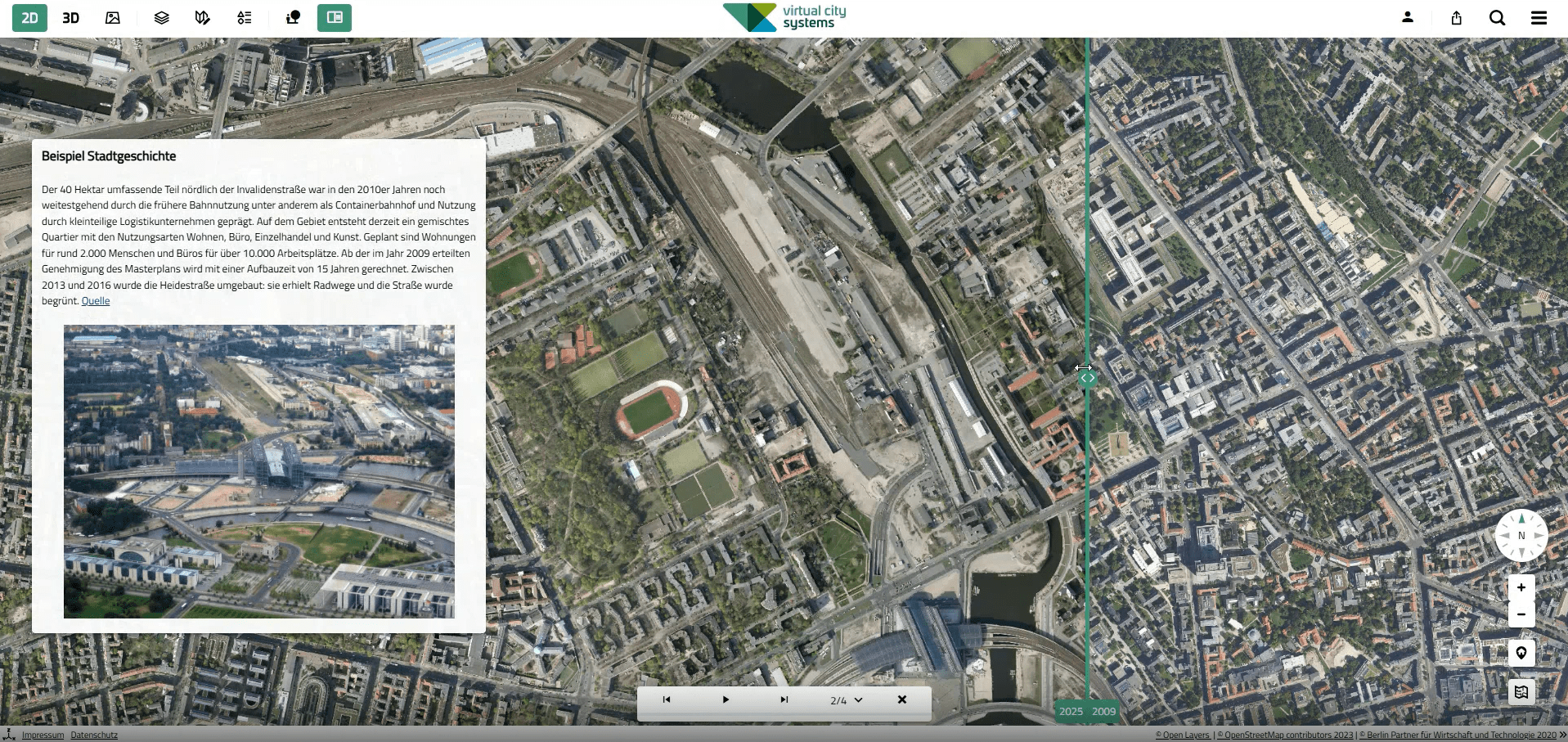
- Link content with map views and map functionality
- No programming required
- Create stories yourself or have them delivered as a service by Virtual City Systems
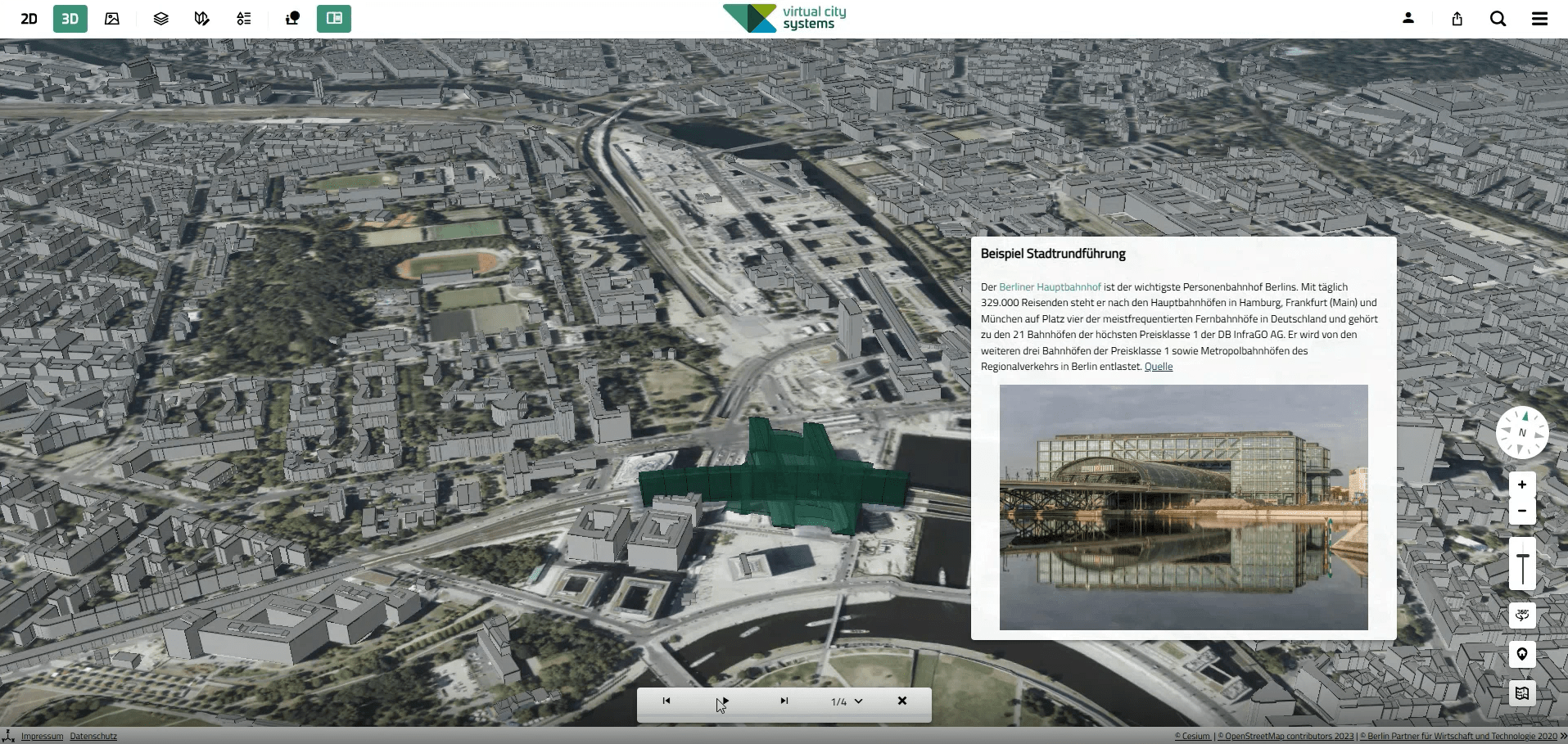
VC Story combines map content with text, images, and other types of content. Users are guided through content and map views, helping them understand spatial relationships and geographic context in an intuitive way.
Depending on the use case, content can be presented as guided slides or as a continuous scroll story. By linking content with map views and map functionality, information can be communicated in an interactive and context-aware manner.
VC Stories are suitable for a wide range of applications, including urban development projects, virtual city tours, environmental and climate-related topics, and internal project communication.
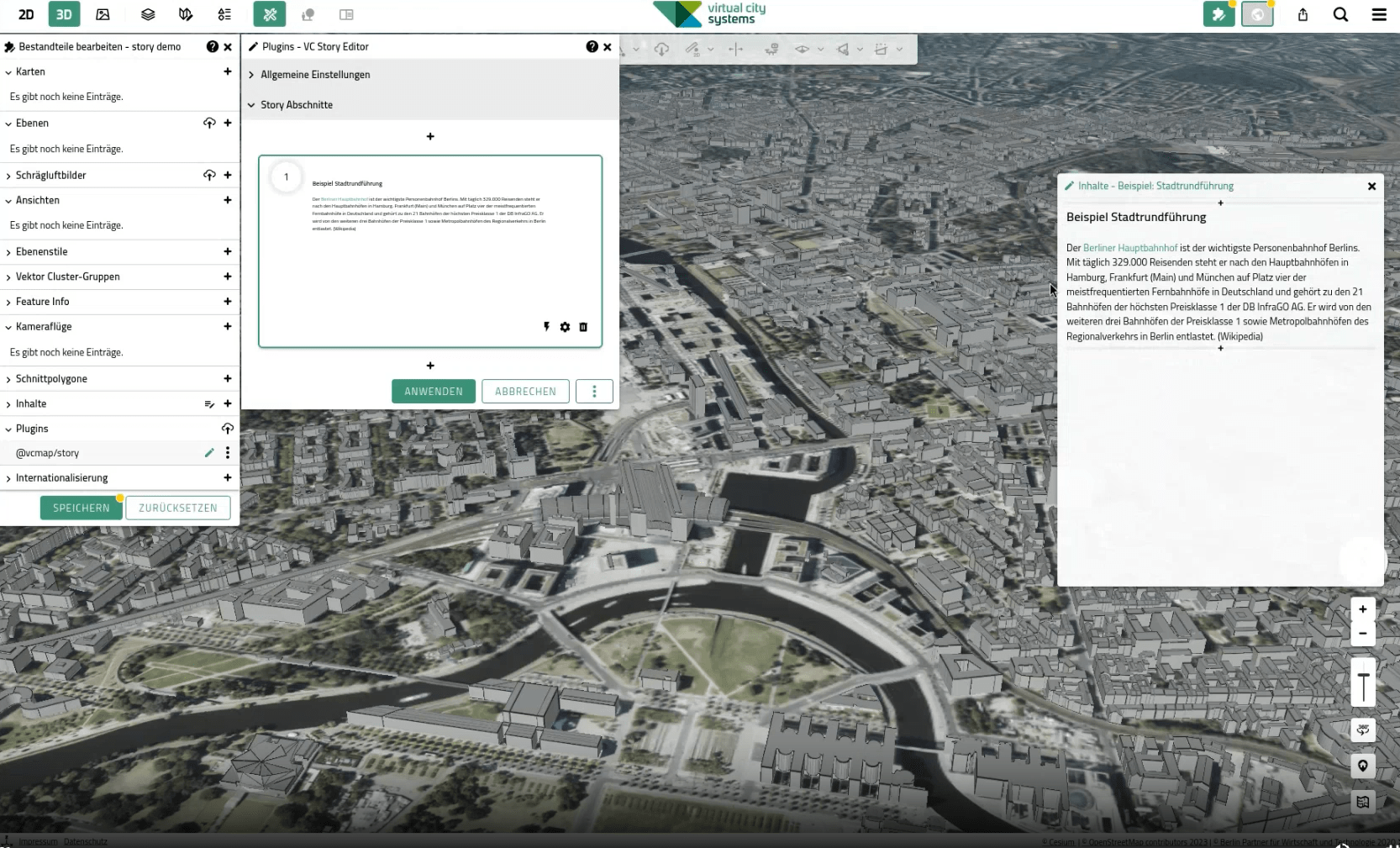
VC Stories can be created independently using the VC Story Editor. Alternatively, Virtual City Systems can support you with story conception, content preparation, and implementation as a professional service.
For more information, application examples, and background details, visit the VC Story product page.