3D City Models
Virtual 3D city models – Combine and visualize information,
make better decisions, and solve problems.
Virtual 3D city models are increasingly used as a way to handle spatial tasks in the fields of urban planning, transportation, environmental affairs, energy, and city marketing.
Taking on spatial tasks with 3D city models
As the social, ecological, economic, and infrastructural challenges we face continue to increase, the world we live in is growing ever more complex. Meanwhile, the connections and dependencies among individual tasks – as well as the effects of changes in them – are becoming more and more difficult to assess.
This is why it’s important not only to combine the flood of information now at our disposal in sensible ways, but to make it visible and accessible, as well. Otherwise, it represents little more than isolated data points that benefit only their respective owners. When it comes to making better decisions on a broader scale, the ability to access current information quickly and easily from a central location is more important than ever.
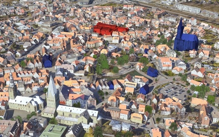
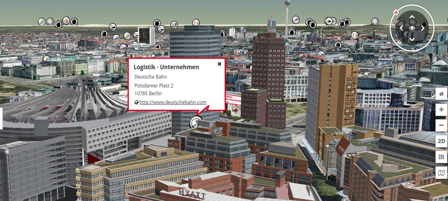
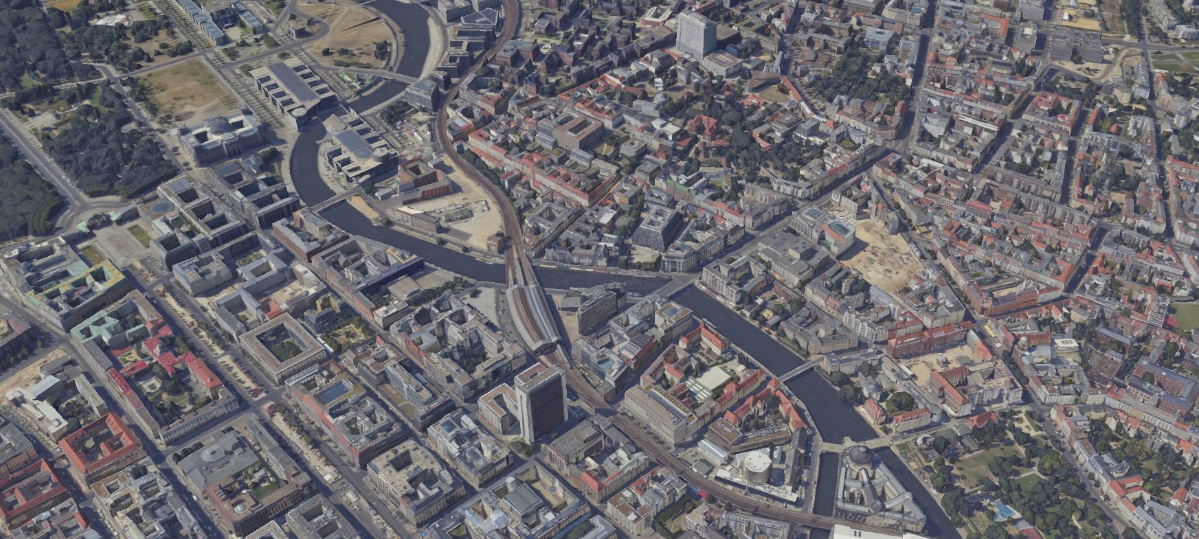
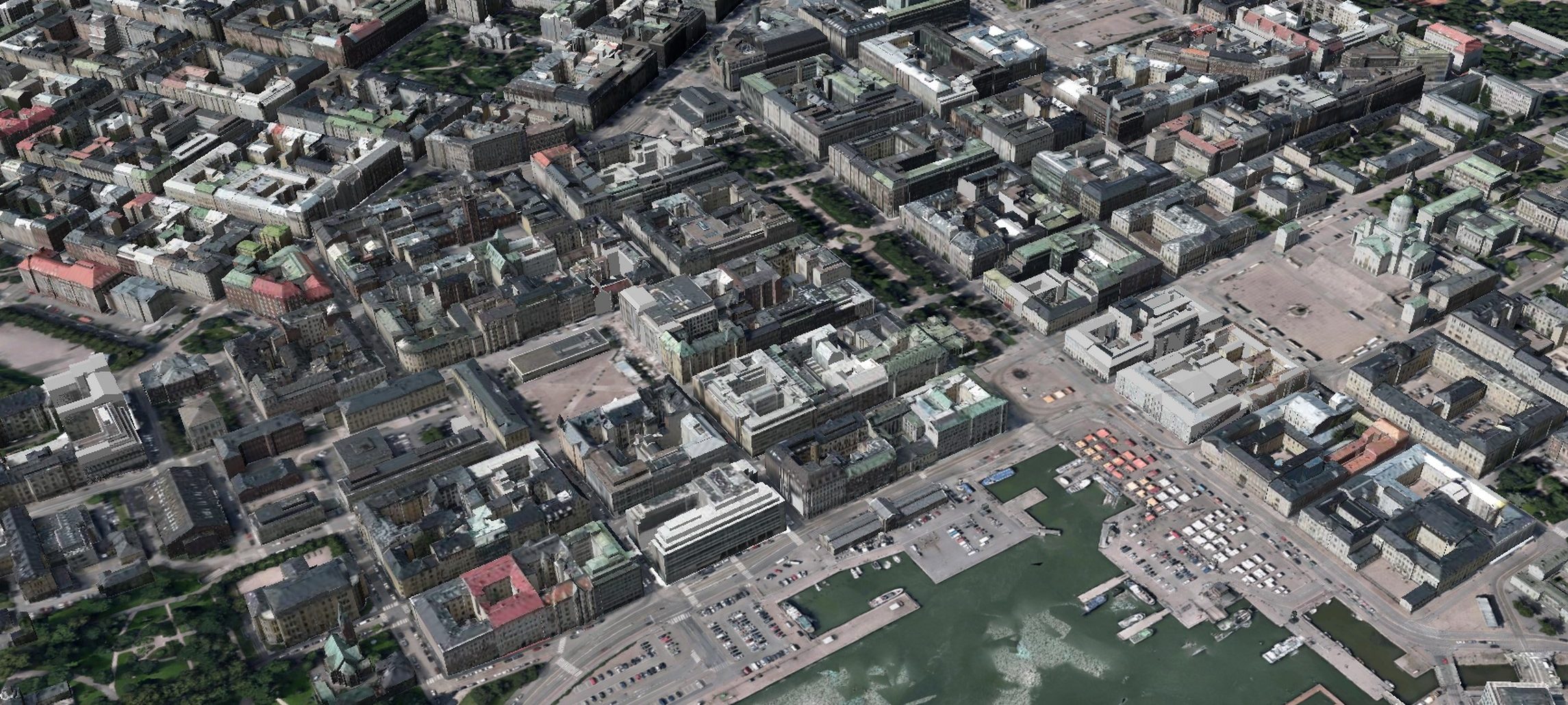
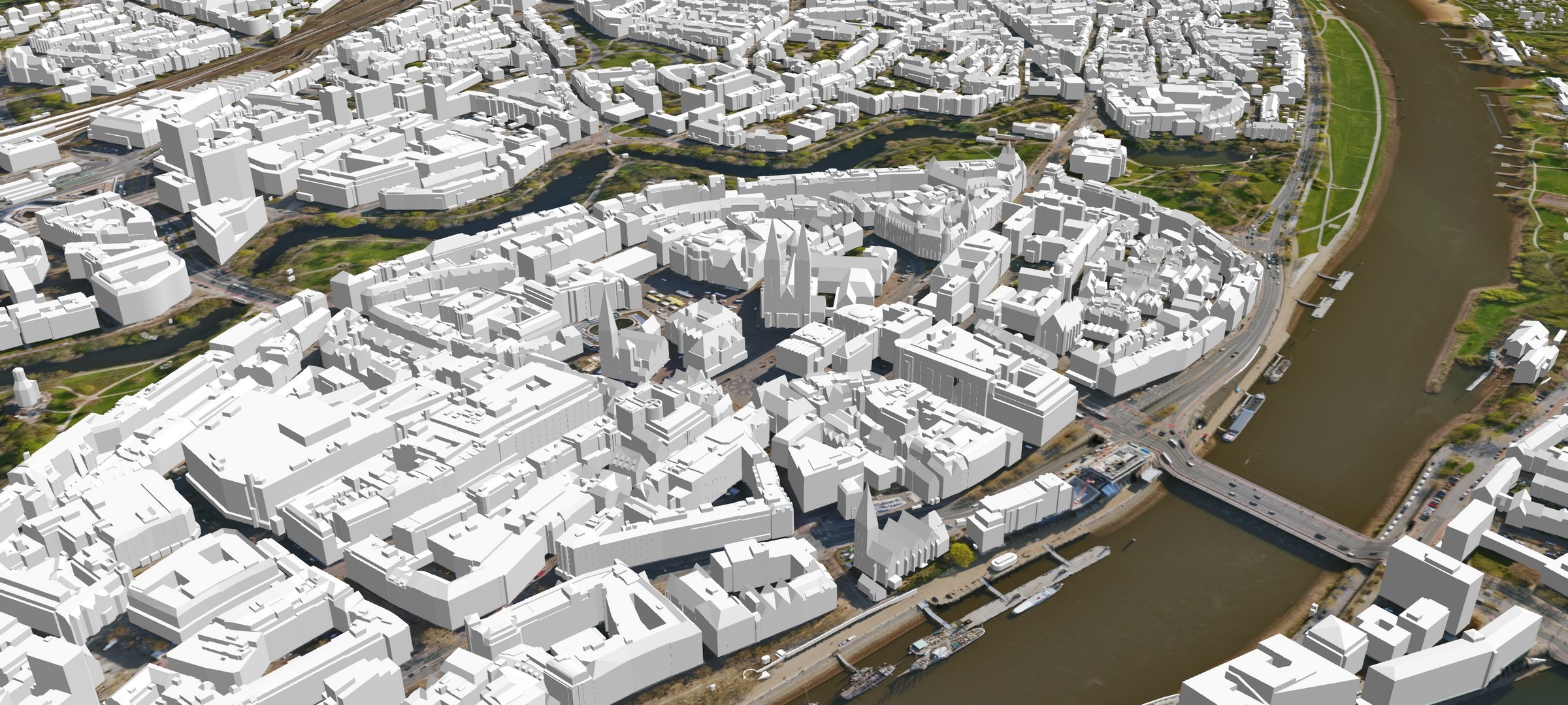
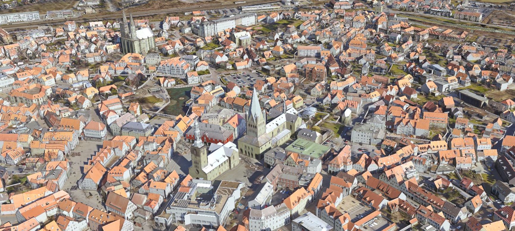
3D model of the city of Soest, with textures and trees
3D city models: a universal and centralized system
for 3D information

3D model of the city of Berlin, with trees (no textures)
A growing number of decision makers are realizing that 3D city models will soon be an indispensable central information system that virtually anyone can access. The high-quality information and solid spatial visibility they offer – and the diverse range of uses they support as a result – make such models a valuable tool for addressing a wide variety of issues.
In addition, a 3D city model serves as a basis for a corresponding digital twin. The more a city’s model is enriched with and linked to related information, the more functional and useful its digital twin becomes.
3D city models support a wide array of uses
In our solution for 3D city models, we offer municipal administrations, business managers, and the general public a systematic platform that can be used for many different applications.
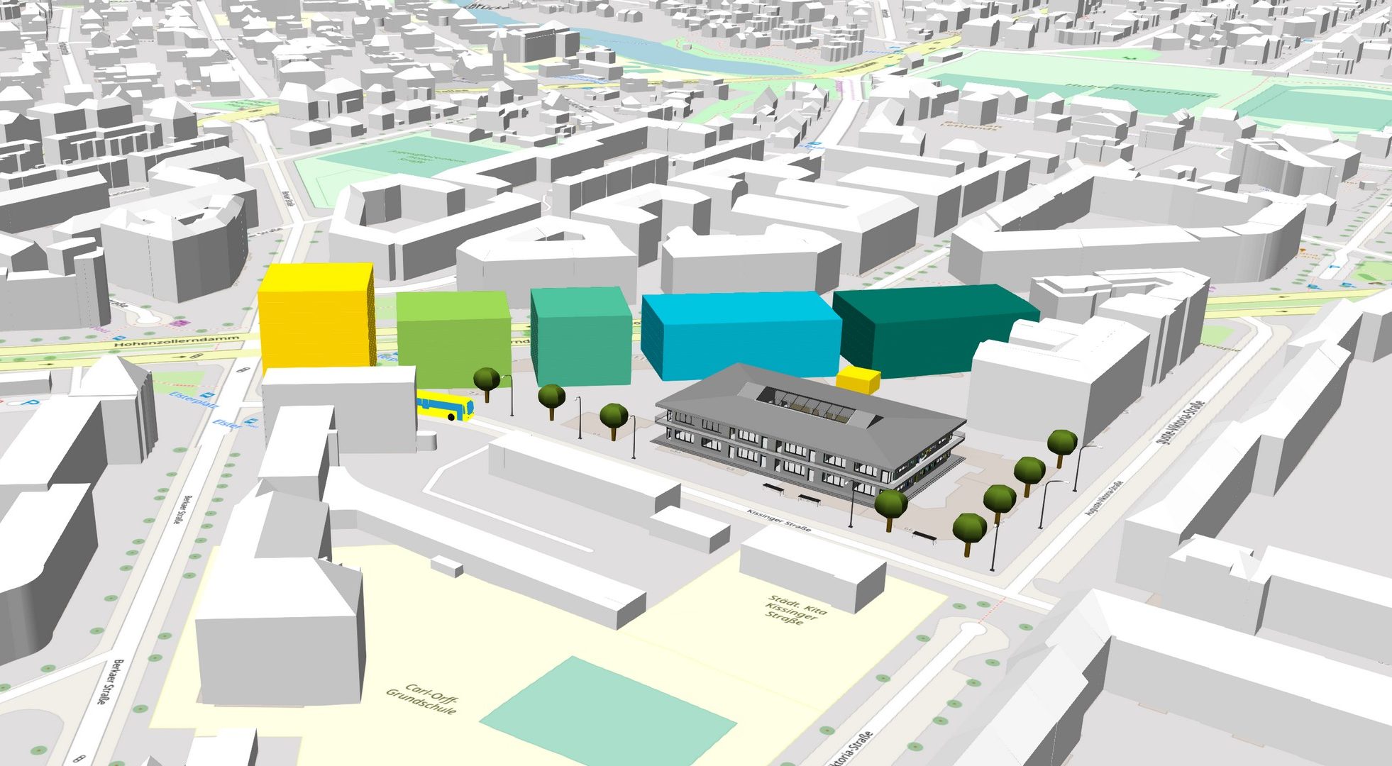
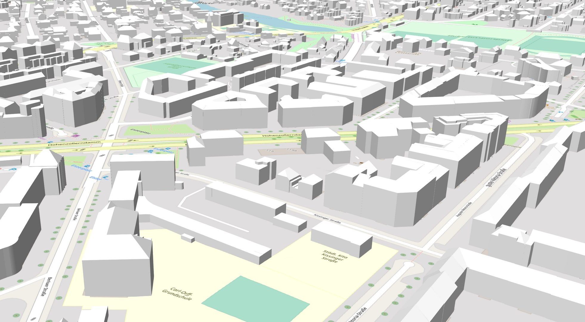
current state
Planning scenario

3D solar potential analysis
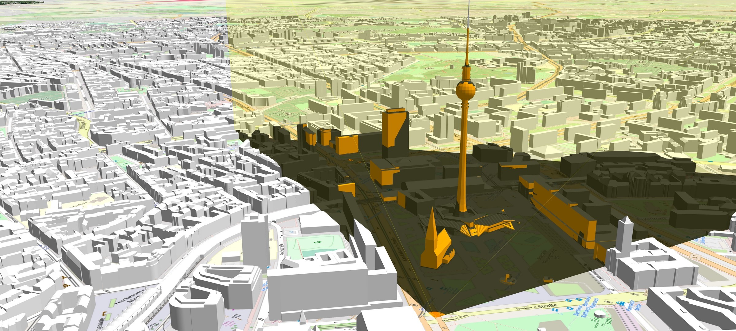
Visibility analysis
City marketing
Our solution for 3D city models is based on
the open CityGML standard
CityGML enables users to model the essential objects of a city, including their 3D geometry and topology, semantics, and visual appearance.
A three-point summary of CityGML:
- Application schema for the XML-based Geography Markup Language (GML)
- Describes the geometry, topology, appearance, and semantics of virtual city and landscape models in 3D
- Makes it possible to store, visualize, and exchange such models
By providing a means of realistically depicting urban elements, our 3D city models make it possible to display changes, review them in advance, and simulate their effects. Along with these visualization functions, database queries for specific attributes (such as building height) can be run from directly within a 3D city model.
Here’s a functional overview
of our solution for 3D city models
- Visibility analysis
- Shade analysis
- Urban and development planning
- Location planning for wind turbines
- 3D solar potential analysis
- Creation of energy demand cadasters
- Simulation of heavy rain
- Simulation of noise and air pollution dispersion
- Visualization of underground information
- Traffic simulation
- Tourism and city marketing
- Querying of building information and other technical data
- Integration of sensor services, including in real time (buses, other traffic)
Whether as an information and participation platform for citizens; an instrument and data interface for urban planning, architecture, and administration; a basis for urban analysis and simulation; or a region’s marketing platform, a 3D city model can facilitate all the aspects involved in visually appealing ways.
Current 3D city models in use
by our customers
Products
VC View
A ready-to-use web application for visualizing geodata in all its dimensions.
VC Publisher
This is how easy building a digital city model can be – with the intuitiveness and performance of VC Publisher.
VC Database
A professional administration system for CityGML data that makes database operations a snap.
VC Planner
A quick and easy way to draft urban planning concepts and incorporate them into the surrounding.