Local Government
Supporting local government in spatial tasks to improve administrative,
planning and decision-making processes.
The increasing growth of cities coupled with fundamental change in rural areas presents many new social, ecological, economic and infrastructural challenges. As a result, local governments are faced with the challenge of working even more efficiently and transparently than ever to meet the high expectations of citizens.
Virtual City Systems knows how to support cities in their transition to a Smart City. We can help you to innovative urban planning and guide you in your digital strategy for the future.
Some of our customers


How Virtual City Systems can help
Our innovative solutions can help a local government on its way to becoming a Smart City, benefitting government officials, citizens and whole communities.
We can help you meet the many challenges you face in modernising your data delivery, facilitating collaboration and improving communication by:
- introducing the use of new and interactive technologies to make planning projects clear and readable
- empowering administrative staff with the right tools to work more efficiently and transparently
- enabling open data exchange and access within administrations
- implementing a real image of the city, i.e. a digital twin, on which changes are displayed, checked in advance and simulated
- ensuring efficient data management for the loss-free preparation of large input data and the continuation and updating of data
- providing an infrastructure for spatial information that is compatible with existing systems
Our customers

Helsinki Energy and Climate Atlas
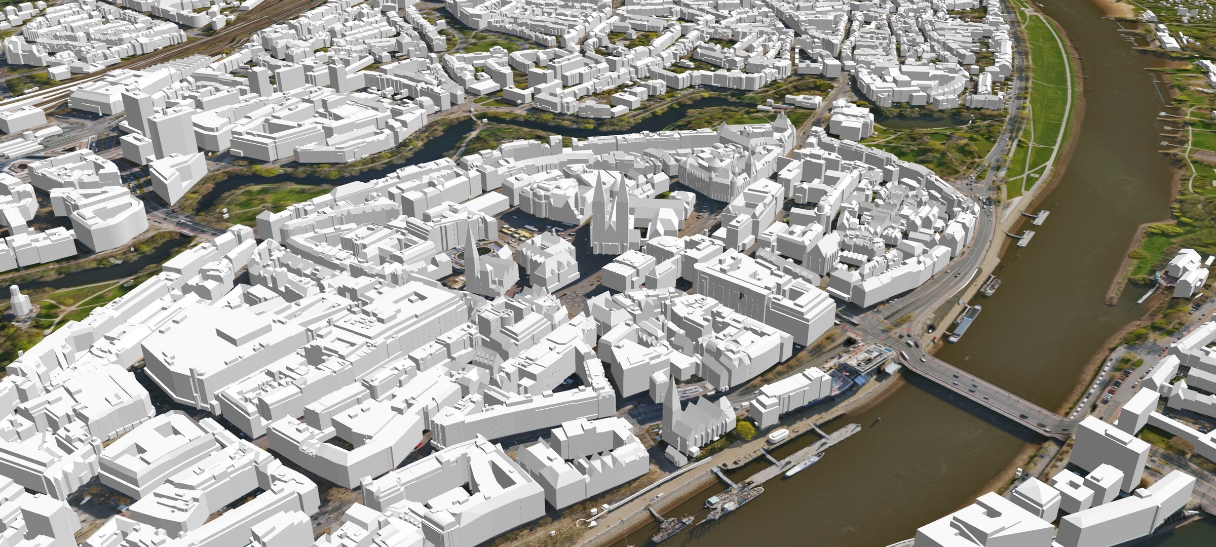
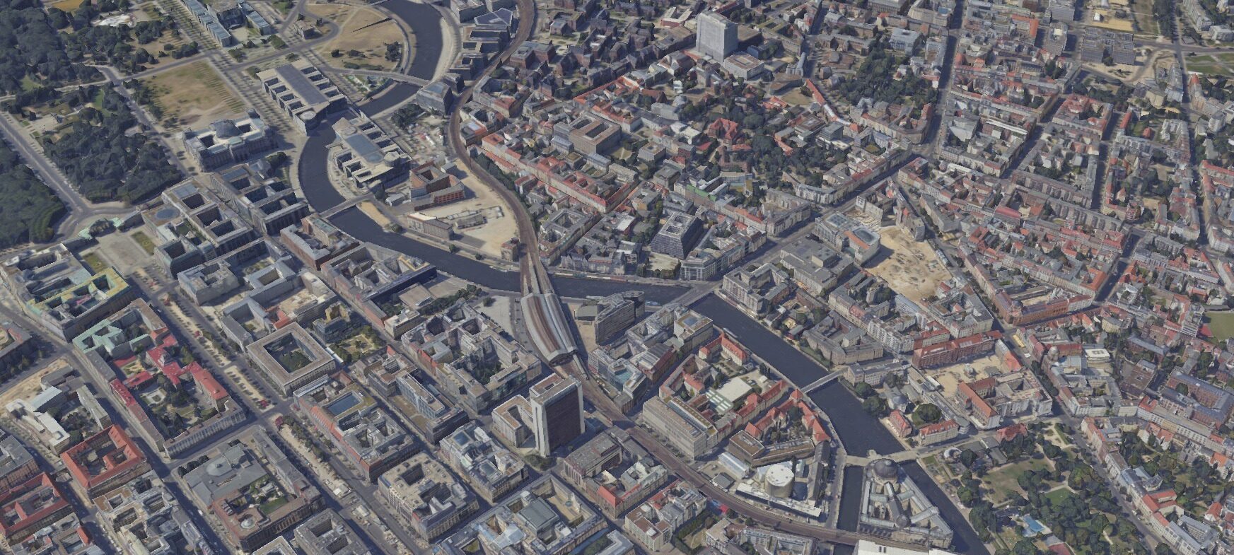
Bremen 3D - the digital Twin
Berlin Economic Atlas
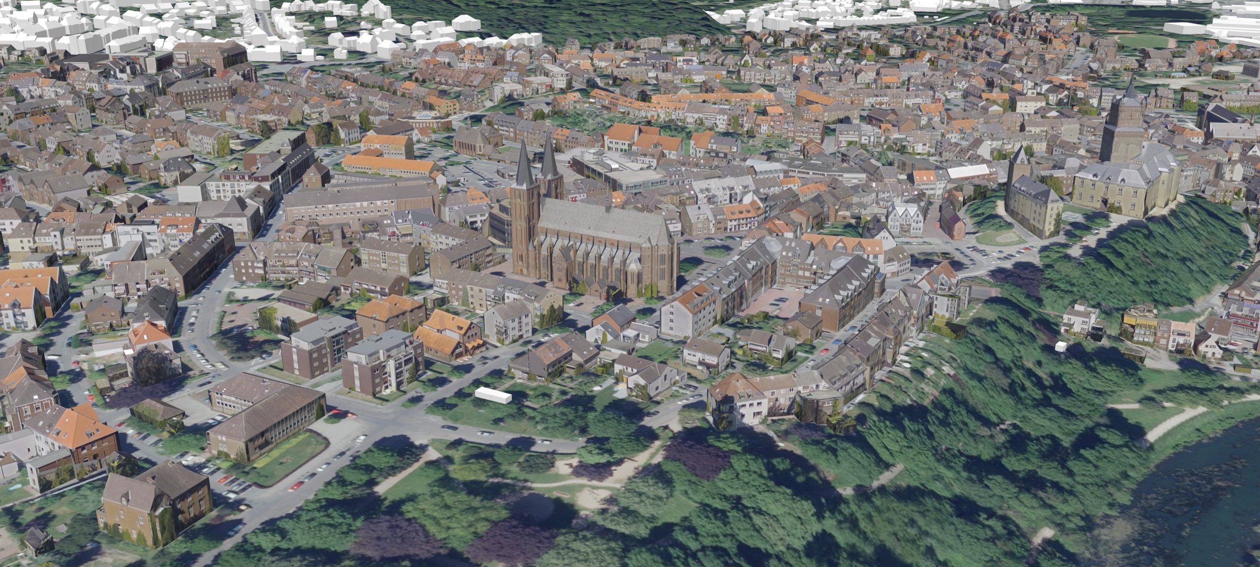
3D city model district Kleve
What our customers say
„As a young architect, I dreamed that one day we would use tools to create more alternatives, develop more ideas and show this more vividly. And now we are very close to this dream. Virtual City Systems has accompanied us on this path for many years with its innovative technology and as a pioneer.”
Jarmo Suomisto
Project Manager, Helsinki 3D+, City Executive Office, City of Helsinki
“We want to improve the lives of our citizens, create economic opportunities and revitalise the urban community. With our “Seeing and understanding Bremen” concept, we are developing the city’s digital twin and linking it to other specialist data. The solutions from Virtual City Systems help us to work more efficiently and transparently. This enables us to better analyse and react to urban design, social, economic and ecological changes”.
Sarah Tesmer
Head of Department Landesamt GeoInformation Bremen,
Free Hanseatic City of Bremen
Our solutions

3D Geodata Infrastructure
Tap into the potential of 3D data. 3D-GDI:
Start building yours with us or add on to your existing system.

3D City Models
Virtual 3D city models – Combine and visualize information, make better decisions, and solve problems.

Digital Urban Planning
A straightforward solution for complex challenges: design cities with our web-based solution for 3D urban planning.

Oblique Aerial Images
A different perspective – view locations and urban objects from four vantage points.
