Digital TwinVC MapVC PlannerVC Story
Baden-Württemberg in 3D: LGL Web Application Launches with New Content and Features
Explore Baden-Württemberg digitally, develop your own planning scenarios, or visually support citizen participation: The 3D web application from the State Office for Geoinformation and Land Development (LGL) is now available with expanded functionality—free of charge and without the need to register. We congratulate the LGL on this successful update.
Congratulations to LGL on the launch of its new content and features
With this web application, you can explore Baden-Württemberg in 3D—easily, digitally, and officially—for free and without registration.
To help users quickly find the right information despite the wealth of specialized content, the information is clearly organized into thematic maps. Simply select the topic you’re interested in and get started.
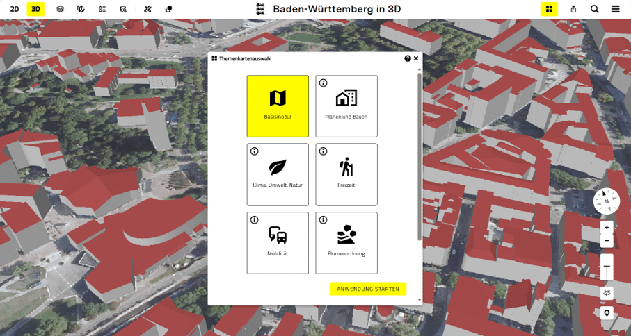
Quick access to relevant information: The topic selection menu guides users directly to the desired content.
Click here to access the Digital State Twin. Have fun exploring! There’s also a short video tutorial on how to use it (both are available in German).
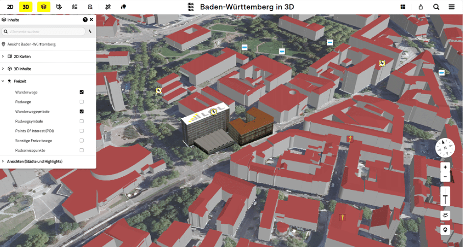
In the Leisure section, users can display hiking trails and their corresponding map symbols directly within the 3D environment.
A special highlight: As part of the Smart Villages project and in cooperation with the Stuttgart University of Applied Sciences, the LGL has also tested the digital planning tool. This tool allows users to upload their own 3D models or BIM objects directly into the application. The plans can be viewed in the “Planning and Construction” thematic map.Digital twins are no longer limited to major cities. Counties and regions are also using digital representations of their infrastructure to link data, make informed decisions, and strengthen collaboration across municipal boundaries.
In the article “Digital Twins for Regions: Why Cross-Municipal Data Platforms Are Gaining Importance”, you’ll find more information and real-world examples.
The Products behind it
- Map Application: VC Map
- Planning Tool: VC Planner
- Story Feature: VC Story