3D City ModelDigitaler ZwillingUrban Simulation
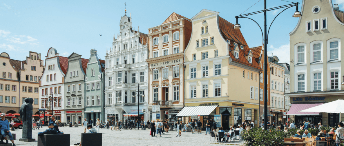
Rostock: Smart Perspectives for a Self-Determined Digitalization
Rostock has consistently taken the transformation of its geodata infrastructure into its own hands. With the switch to the modular VC Suite, a strategic realignment was initiated: existing systems were reassessed, silos dismantled, and a future-proof platform was created – open, scalable, and fully self-operated.
Core components such as VC Warehouse, VC Publisher, VC Planner, and VC Map form another key building block of the geodata infrastructure. The platform goes beyond pure visualization by qualifying geodata for strategic decision-making processes – in areas such as administration, climate strategy, or public communication.
A highlight: the expansion of the VC Solar App with profitability and CO₂ calculations. This jointly developed tool enables data-driven assessment of solar potential and is publicly accessible via the city’s geoportal – a prime example of digital sovereignty in practice.