3D City ModelCityGMLOpen Data
Bavaria expands Open Data offering
Bavarian State Office for Survey and Geoinformation offers data from land surveying and the real estate cadastre for download free of charge
Since January 1, 2023, the Bavarian State Office for Survey and Geoinformation has been offering a range of geodata for free download. You can find out exactly which data sets are involved here.
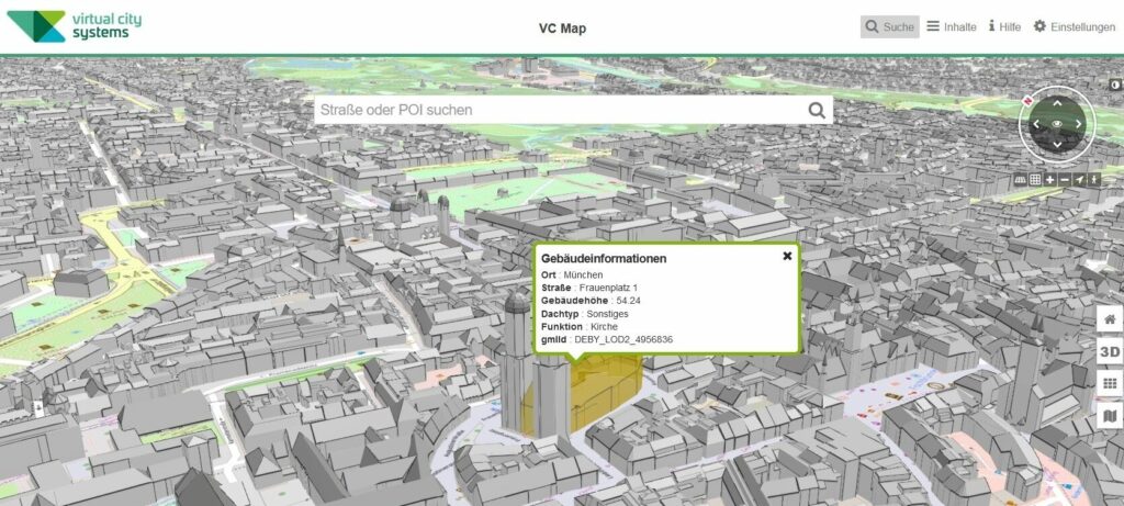
To illustrate the ease of use of the data and to support the Open Data ambitions in Germany, we have integrated the Bavarian CityGML data (LoD2) into our publicly available 3D Germany Viewer. In the near future, we will also process the terrain model (1 meter) into the existing Germany-wide terrain model (30 meters) via mesh-in-mesh method.
We are pleased that Bavaria has taken another important step towards Open Data.
Feel free to check out the Virtual City Systems 3D Germany Viewer:
