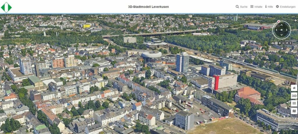
Based on VCS technology, the city of Leverkusen is expanding the viewer of its 3D city model, which was developed in cooperation with Cologne. The digital model enables citizens and the city administration to visualize the entire city area and offers areas of application in urban development, the environment, simulations and disaster control.
The 3D mesh is based on 2,895 aerial photographs and was processed by an AI algorithm that removed moving objects from the cityscape. Interactive functions such as search, PDF output, drawing tools and measurements are available. The city plans to integrate real-time data and further develop the digital twin to enable detailed analysis and improved citizen participation.
Further information on the project can be found in the Business Geomatics article:


