digital views. real perspectives.
A straightforward solution for complex challenges – new and innovative ways
with 3D city models.
Virtual City Systems offers innovative solutions for managing, distributing and using digital 3D city models.
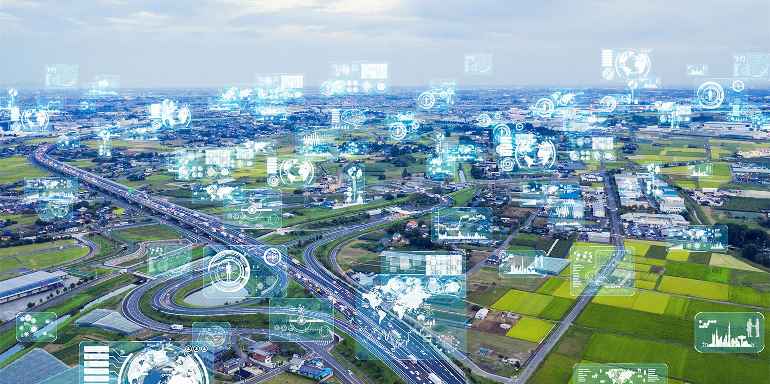
3D City Models
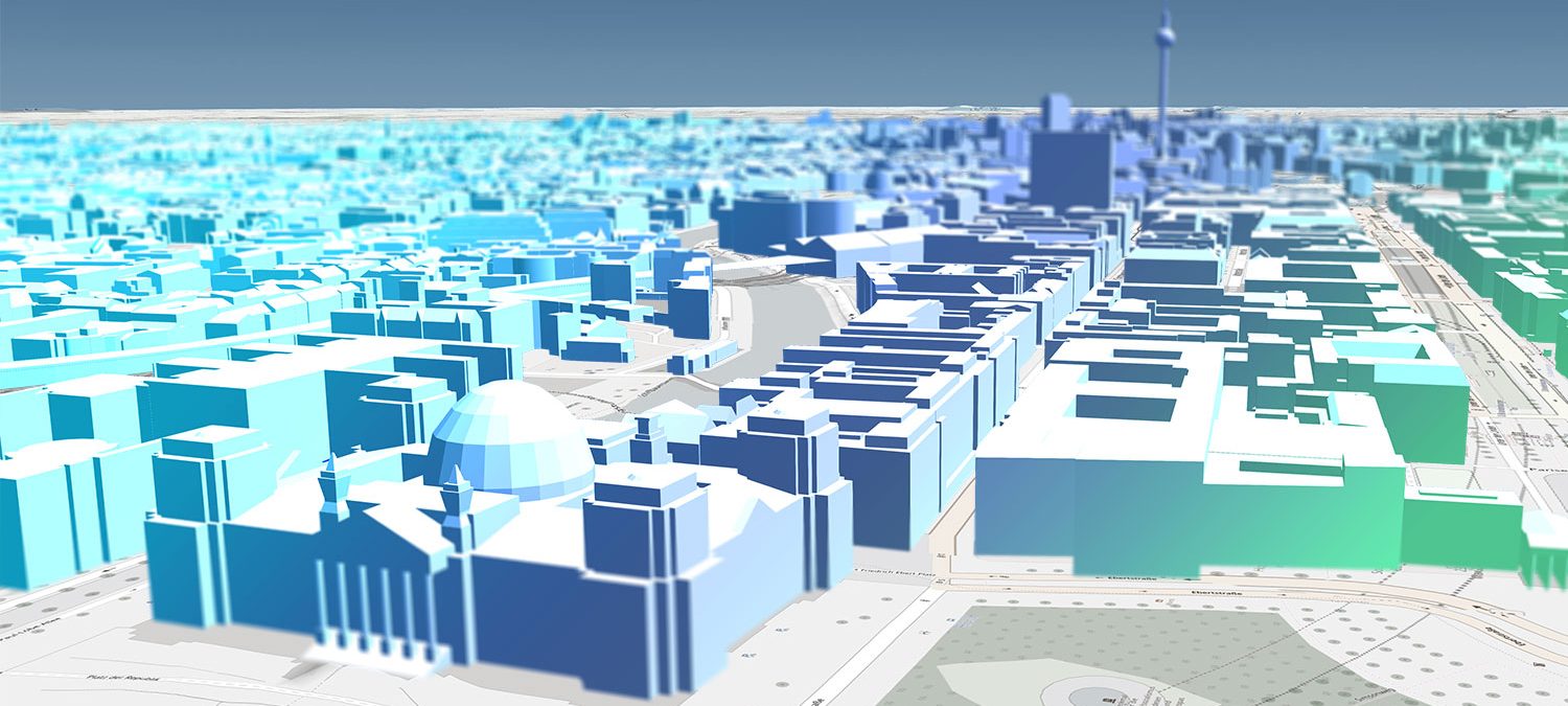
A growing number of decision makers are realizing that 3D city models will soon be an indispensable central information system that virtually anyone can access. The high-quality
information and solid spatial visibility they offer – and the diverse range of uses they support as a result – make such models a valuable tool for addressing a wide variety of issues.
Digital Urban Planning
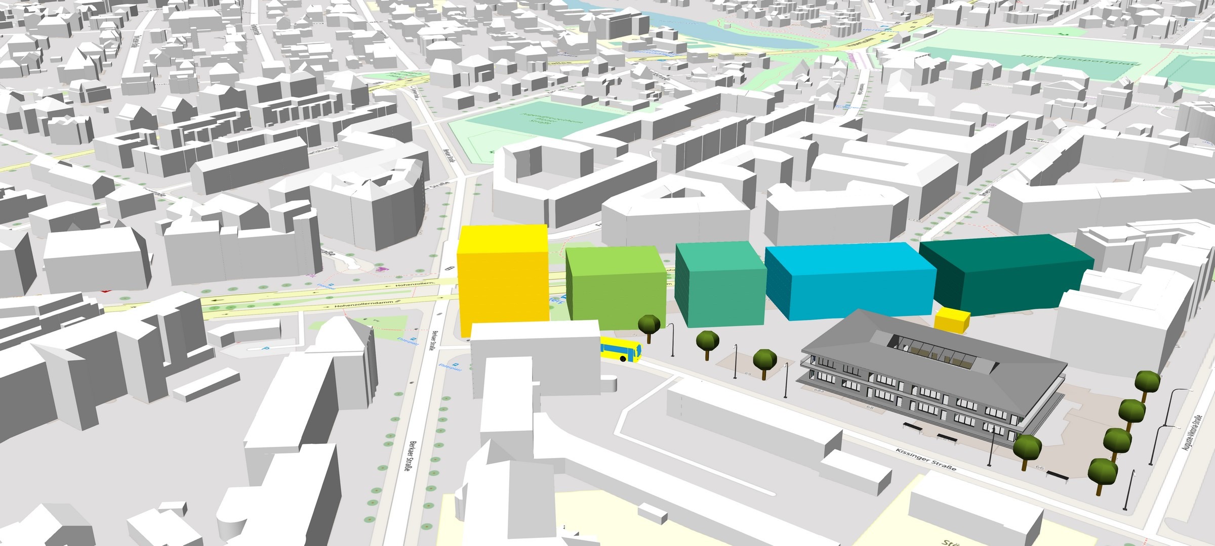
The field of urban planning is subject to a good deal of give-and-take with regard to the general public interest. During planning processes, interested citizens and the people involved in such projects need to be able to understand the underlying plans and follow along as they take shape. Here, it’s important to present and pass on information regarding the backgrounds, challenges, and visions pertaining to urban planning projects in a comprehensible way.
Urban Simulation
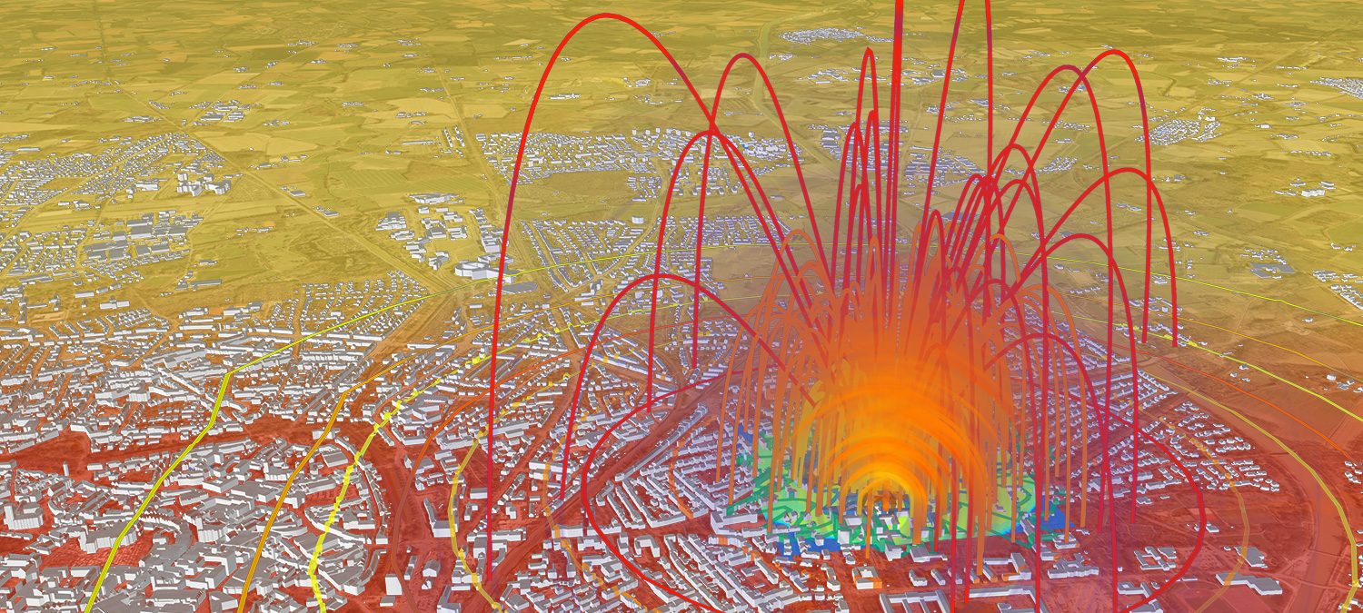
Simulation of the spread of blast waves and shrapnel caused by unexploded aerial bombs from World War II while factoring in surrounding structures with unprecedented accuracy and speed. Along with adjustments in existing structures, the solution supports the modeling of specific situations in which such ordnance is discovered and can incorporate further objects (e.g. temporary container walls) into its simulations.
Laudation for 1st Place at the CDR Award 2024, Award Ceremony on 25 January 2025
“This project impressively demonstrates how modern technologies can address the most pressing challenges of our time through openness, modularity, and practical relevance. It not only provides responses to the consequences of climate change, but also opens up new perspectives on how we can actively confront and counter it—together.”
Bartosz Przygylek | Managing Consultant | Unit Lead Corporate Responsibility | ifok GmbH

Out of almost 100 submissions, we came out on top with our innovative project and showed how digitalisation can contribute to sustainable urban development.
News from our Blog
The VC Suite at a Glance – Solution for 3D Geospatial Data Infrastructures
On Wednesday, June 11, 2025, from 11:00 AM to 12:00 PM (CET), this free webinar will focus on the VC Suite. Learn how to efficiently manage, analyze, and clearly visualize spatial data – without time-consuming technical obstacles.
Live detonations of aerial bombs
What happens when a World War II bomb explodes – not just on the surface, but deep underground? How far does the destruction reach? And how can evacuations be planned with precision and kept as minimal as possible to ensure the best possible protection for people? These are the questions addressed by the SchockAnalyst project in a test campaign that is unprecedented to date.
From Model to Future: How Etteln became the world’s smartest community with the help of its Digital Twin
What does it take for a small village to be named the best smart city in the world – even ahead of Hong Kong? In Etteln, the answer begins with a digital twin, open data, and genuine civic participation. Discover how geodata drives transformation – and how an entire community benefits.
Some of our customers


Oblique Aerial Images
Today, high-resolution oblique aerial images are an important tool used by many municipal and district administrations. They provide an excellent foundation for analyzing urban structures and ascertaining changes in both urban and rural settings.
“I dreamed as a young architect that one day we would use tools so we can do more alternatives, create more ideas, and show them more clearly. And now we are very close to this dream. Virtual City Systems accompanies us on this path for many years with their innovative technology and as a thought leader.”
Jarmo Suomisto, Project Manager, Helsinki 3D+,
City Executive Office, City of Helsinki
3D GeodataInfrastructure
One of the main challenges lies in integrating spatial information into administrative, planning, and decision-making processes. Here, 3D geodata has to be refined and managed in a holistic system that enables users to get the
absolute most out of it.
„We want to improve the lives of our citizens, create economic opportunities and revitalize the urban community. With our “Seeing and Understanding Bremen” concept, we are developing the city’s digital twin and linking it with geospatial data. The solutions from Virtual City Systems help us to work more efficient and transparent. This enables us to better analyze and respond to urban design, social, economic and ecological changes.“
Sarah Tesmer, Head of Department, State Office GeoInformation Bremen, Free Hanseatic City of Bremen